Edstone Aqueduct Walk
A Walk Across England's Longest Canal Aqueduct
When I found that England’s longest canal aqueduct was less than forty miles away from home, I started to pore over my mapping software to design a walk that crossed it. I was also very happy to find that I could get a long walk beside the canal and, as a bonus, cross a second, shorter aqueduct. Our Edstone Aqueduct Walk is a 10-mile circular walk that I planned to start from the village of Bearley in Warwickshire, but obviously, could be started anywhere around the circuit.
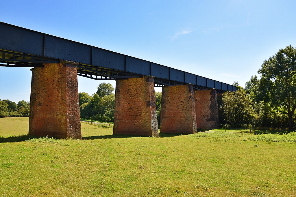
The Edstone Aqueduct opened in 1816 and carries the Stratford-upon-Avon Canal over twin tracks of the Great Western Railway, a minor road called Salters Lane, a tributary of the River Avon and open fields as it crosses the valley near Bearley. The aqueduct is 475 feet long and approximately 33 feet above ground level, making it England’s longest canal aqueduct, but not the UK's as there are longer ones in Wales and Scotland.
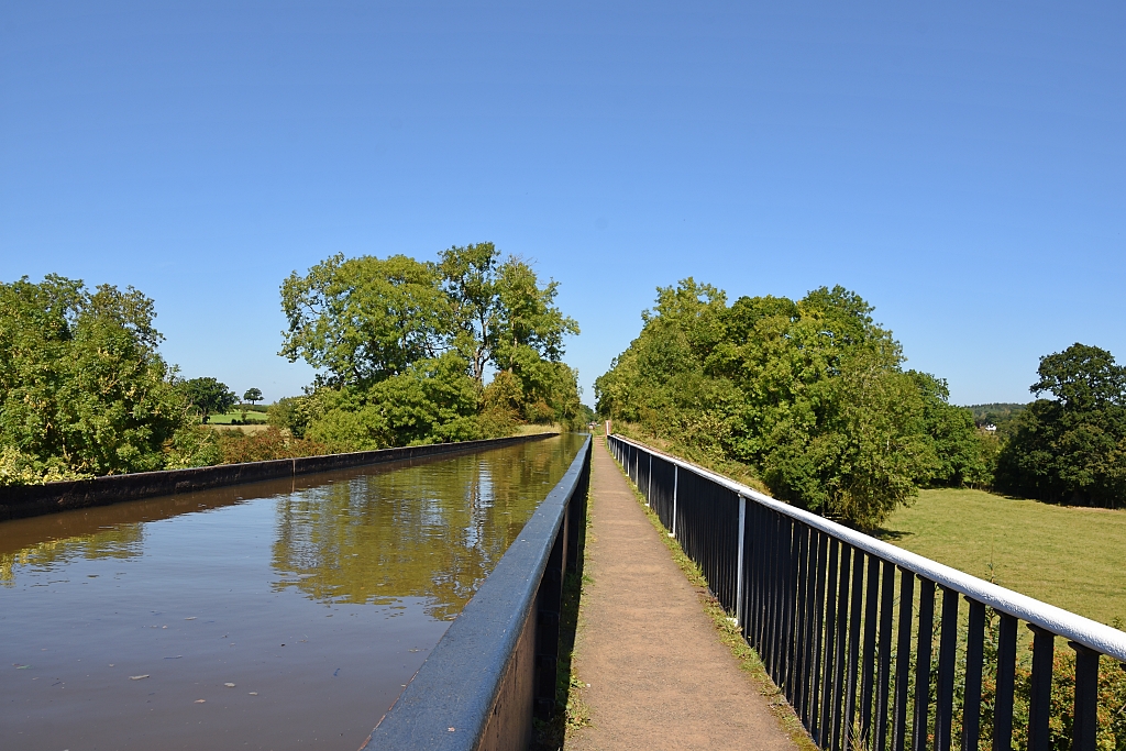
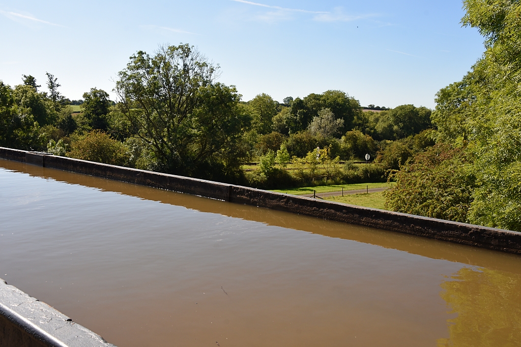
The cast iron trough aqueduct is a prefabricated structure made from 35 separate sections all bolted together. The trough is just under nine feet wide and five feet deep and sits upon 13 brick piers. The towpath runs along one side of the aqueduct and is, unusually, set at the base of the trough so that the water level is about waist high.
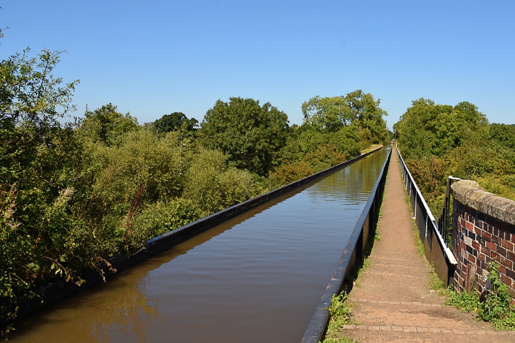 Looking Back Along the Edstone Aqueduct © essentially-england.com
Edstone Aqueduct Walk Map
There is something addictive to canal-side walking, with the chance to spot wildlife as you pass through tranquil scenery. I’ve already mentioned that our Edstone Aqueduct walk crosses two aqueducts and meanders alongside the canal for around five miles. But it also passes through woodland and across open fields and - as we’re in Shakespeare’s county - it visits his mother’s farm in Wilmcote.
The walk directions are poorly signed in places, so it may be easier to follow the route using some mapping software. If you use Komoot.com mapping, then you can follow my route on your phone. If you use a GPS device, then click on “Discover more info about this tour” to download the gpx file.
We chose to start in Bearley and used the small free car park attached to Bearley Playground on Grange Road. Use the postcode CV37 0SE for guidance.
From the carpark, it's about a quarter of a mile along Grange Road to meet our walking route at the end of School Lane.
Edstone Aqueduct Walk Route
We started our walk at the junction of School Lane and Grange Road in Bearley and followed the gravel track, which quickly changed into a narrow footpath between trees and hedges. The footpath joined a field, and we continued around its boundary following the footpath signs.
Then we passed through a gap in the hedging into another field and turned left, ignoring the grass footpath across the field, to follow the field boundary to the railway crossing.
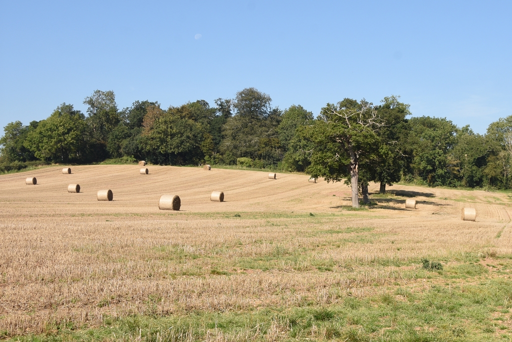 The Field After Leaving Bearley
 © essentially-england.com
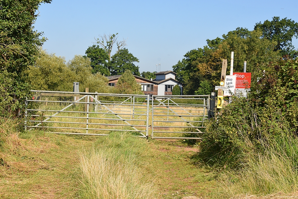 The First Railway Crossing During our Edstone Aqueduct Walk
 © essentially-england.com
Making sure no trains were approaching, we crossed the railway track to join a grass track that took us to the road.
We turned right on the road and after around 100 metres turned acutely left onto a tarmac driveway. We followed the driveway through several twists and turns, over cattle grids, small bridges, and open grazing land to Cutlers Farm.
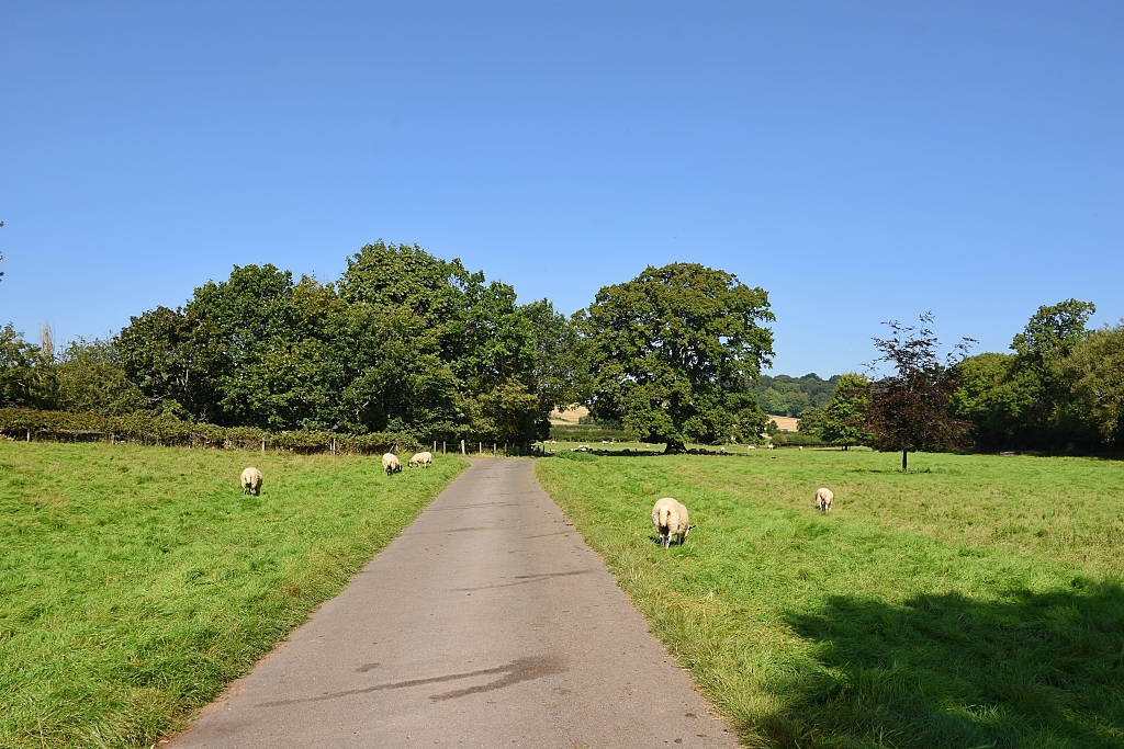 The Driveway to Cutlers Farm © essentially-england.com
We kept to the tarmac driveway, passed the farmhouse, and turned left between the brick-built barns. The footpath sign directed us through the courtyard, past a couple of open barns and on to a grassed slope following the tree lined field boundary. Towards the top of the incline, our footpath curved into dense woodland and some much-needed shade from the hot sun.
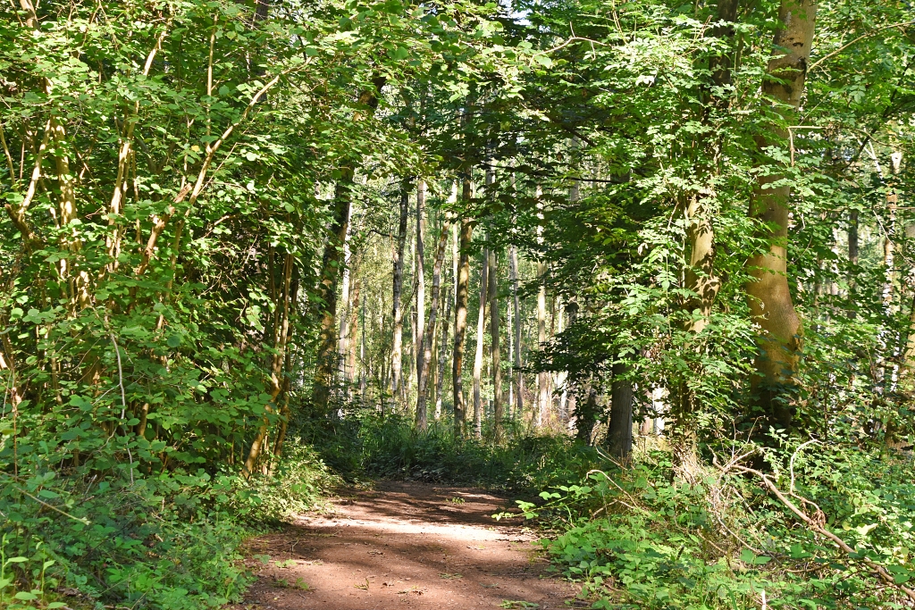 Some Much Needed Shade Through Wonderful Woodland During our Edstone Aqueduct Walk
 © essentially-england.com
The footpath was easy to follow and went gently downhill towards the Stratford-upon-Avon Canal. It gave us about fifteen minutes of respite from the sun and some lovely woodland views. After wet weather it may get a bit muddy in places so we’d advise to wear good walking shoes. We did this walk in the first week of September when it was nearly 30°C and still had to dodge around some mud. Mind you, summer 2023 wasn’t known as a dry wet one!
Through the wood there were many signs warning of private land and requesting that dogs were kept on leads. One sign even warned of guns being used, so we made sure to stay on our route!
The path out
of the woodland took us straight onto bridge 51 of the Stratford-upon-Avon
Canal. The abutments of this very narrow and low bridge were brick built with a
metal platform and metal railings. The platform was made of two metal parts, and we wondered if - in the past - they might have opened for boats carrying tall loads. One boat squeezed under the bridge while we watched, and the boat's pilot had to duck his head to pass safely.
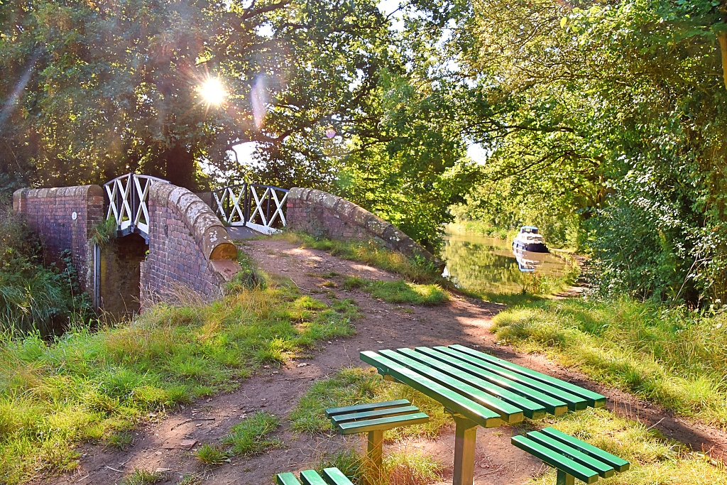 Joining the Stratford-upon-Avon Canal at Bridge 51 © essentially-england.com
Just over the bridge, we found a very convenient small picnic table, which made an ideal spot as we were three miles into the walk, and it was lunchtime(ish). It's quite rare to find somewhere to sit down when walking the canals, so you must take the opportunities when they arise!
After crossing canal bridge 51, the route turns left along the tow path. Navigation for the next five miles was easy as we would just follow the tow path to bridge 59 - while crossing aqueducts! We happily set off along the tow path with the canal on our left, and wondered what was ahead of us.
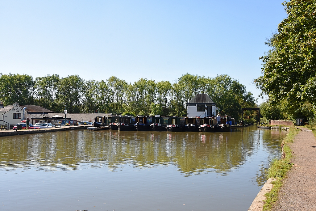 Wooten Wawen Marina © essentially-england.com
We passed bridge 52, and then a winding hole, to arrive a bridge 53 from where we could see Wootton Wawen marina and The Navigation Inn. Bridges 52 and 53 were of the same unusual construction as the first bridge we crossed, so maybe it was the style used along the Stratford-upon-Avon Canal. As we approached the small marina, we realised that were about to cross our first aqueduct, the Wootten Wawen Aqueduct, which was a very narrow channel to the right of the site.
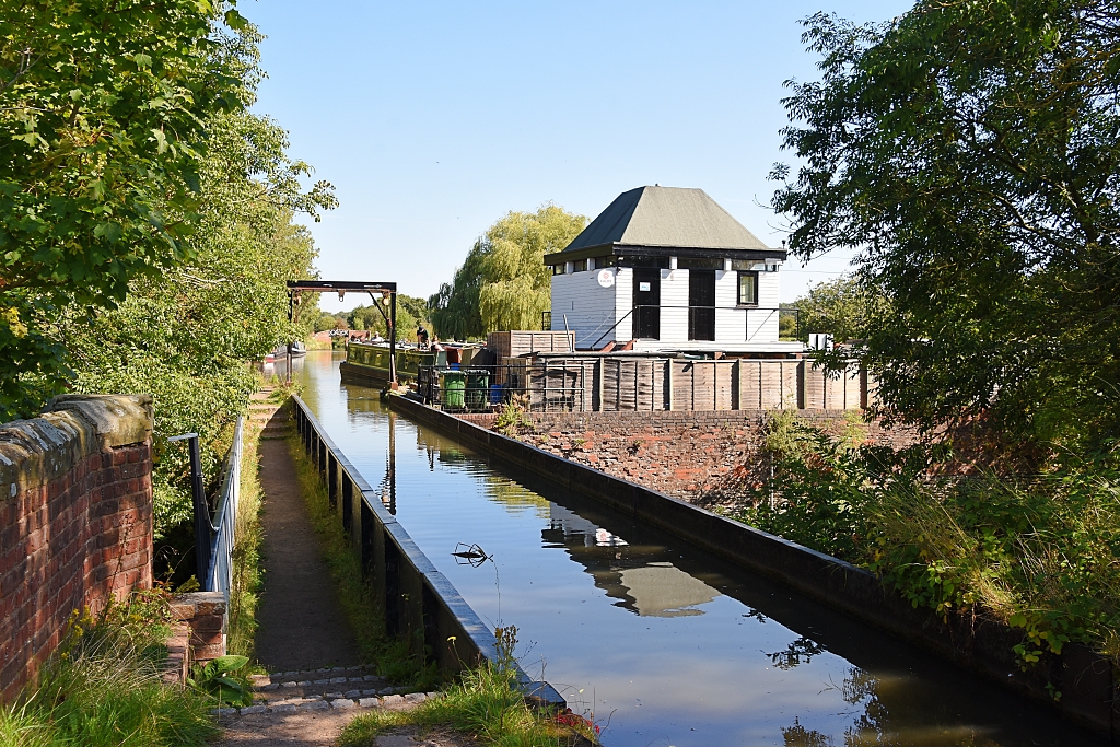 The Wootten Wewen Aqueduct © essentially-england.com
The Wootten Wawen Aqueduct is a cast iron trough that carries the canal across the busy A4300 road. It was erected by The Stratford Canal Company in October 1813.
It was quite eerie stepping down on to the tow path and having the trough of canal water at about waist height to our left. What a shame a boat wasn’t around!
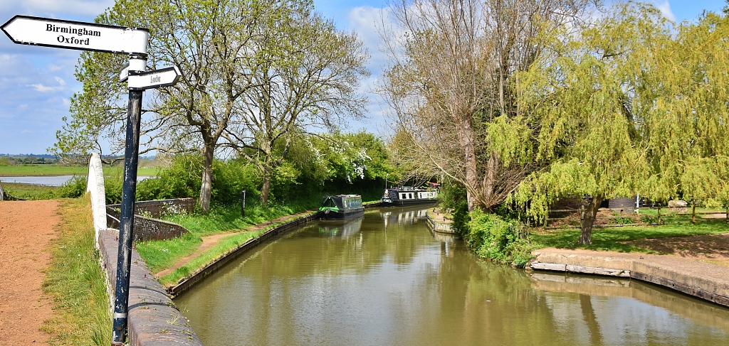
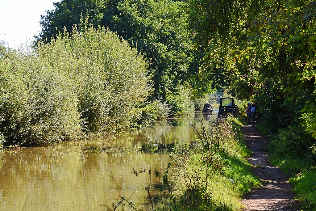 Peaceful Canal Scene During our Edstone Aqueduct Walk © essentially-england.com
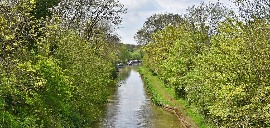
Leaving the aqueduct, we continued along the canal looking out for wildlife and taking in the scenery around us. We’re still looking for the elusive Kingfisher!
The canal went under bridge 54 and past the rather grand looking Hill Farm Marina to bridge 55. Here we crossed the canal to join the towpath so that the canal was now on our right
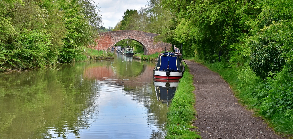
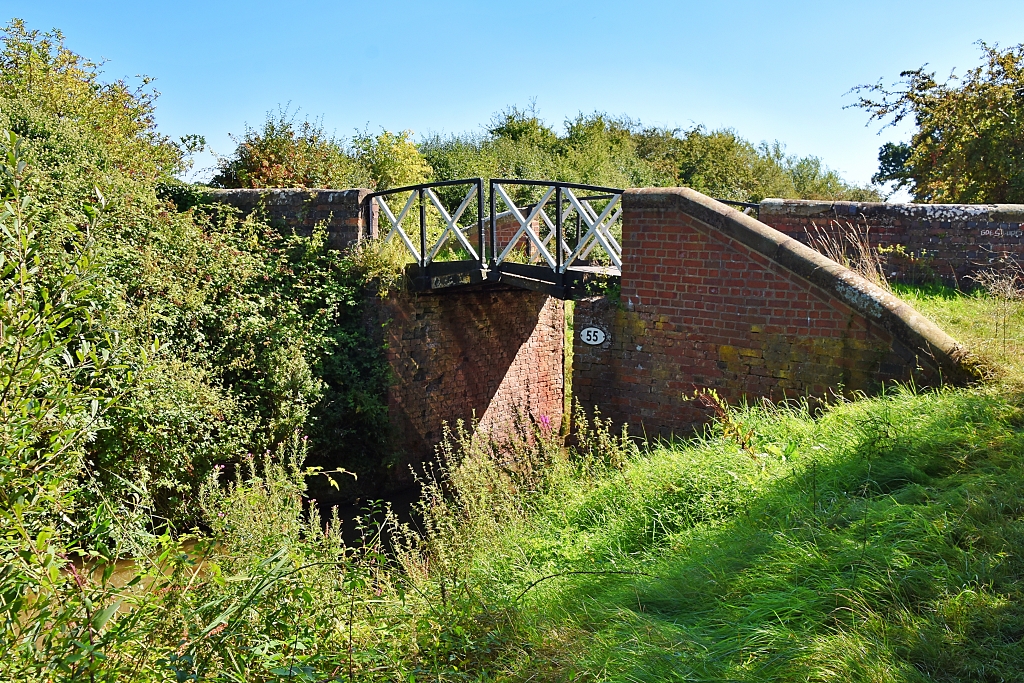 Crossing the Stratford-upon-Avon Canal Using Bridge 55 © essentially-england.com
It didn’t take us long to reach bridge 56 which - unlike the previous bridges - was a typical brick-built canal bridge. The sunlight made lovely flickering reflections on the brickwork as we passed under. In front of us was the next point of interest, Bearley Lock No. 39. This is a single boat lock with just one paddle style lock gate at either end. Apparently, the locks along the canal were built like this to keep the costs down, although this would have delayed the boats in the canal's heyday.
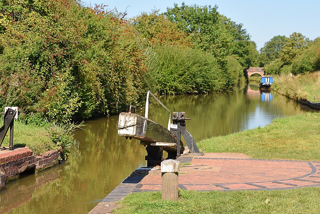 Looking Back From Bearley Lock No. 39 to Bridge 56 © essentially-england.com
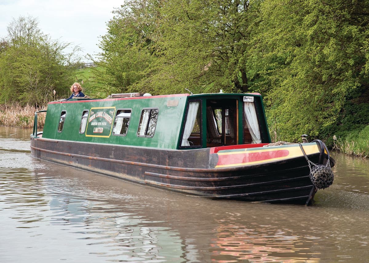
From the lock, the canal was almost dead straight and in the distance was our main highlight, the Edstone Aqueduct. It was about 0.4 miles from lock to aqueduct, and as we approached a boat was coming across. Naturally, we had to get down on to the aqueduct tow path and get the very unusual view of a boat passing at around shoulder height!
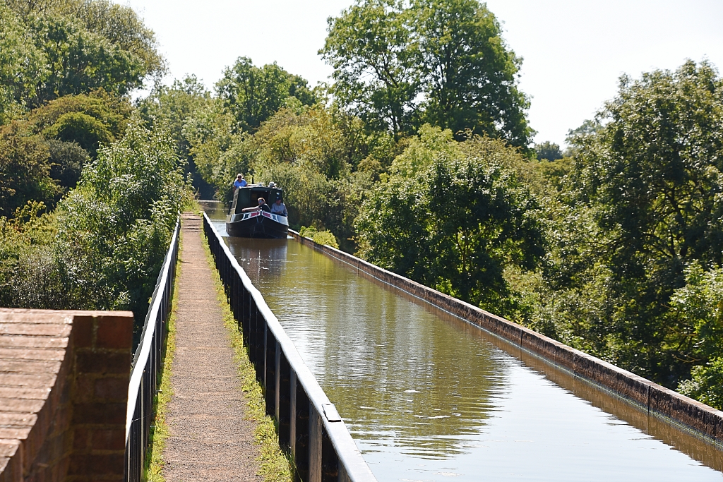 Narrow Boat Crossing the Edstone Aqueduct © essentially-england.com
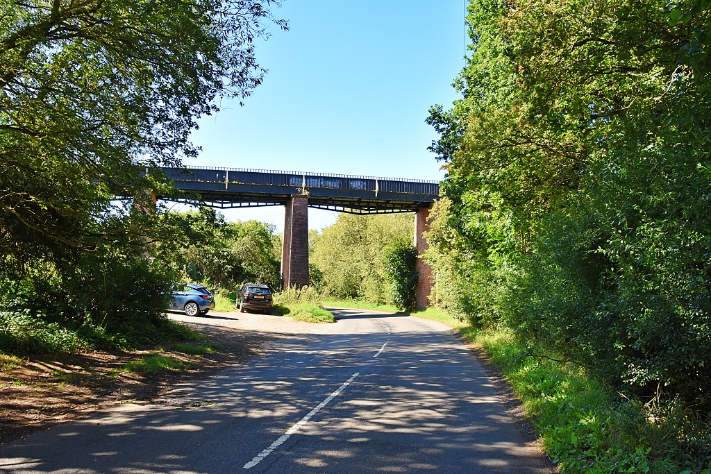
When the aqueduct was built over 200 years ago, it crossed a valley. Roads and trains came later - and disappeared again. Once upon a time, two trainlines passed beneath the aqueduct, but the line to Alcester was closed and removed.When steam trains made their appearance valves were put into the bottom of the trough so that they could be supplied with water. Rumour has it that one train was taking on water when a fish got stuck in the intake pipe and delayed the train!
And this is why I planned the Edstone Aqueduct Walk…
 © essentially-england.com
 © essentially-england.com
 © essentially-england.com
 © essentially-england.com
Shortly after crossing the aqueduct, a set of steps lead down to Salters Lane, where you have the chance to view the aqueduct from below. Salters Lane has a very small car park, which means you could start the walk from here, or break your journey to view the aqueduct.
We climbed back up the steps to rejoin the tow path. After all the excitement, it was now a leisurely three-mile stroll through scenic countryside to bridge 59, where we would leave the canal to wander through Wilmcote and see Mary Arden's Farm, the childhood home of William Shakespeare’s mother.
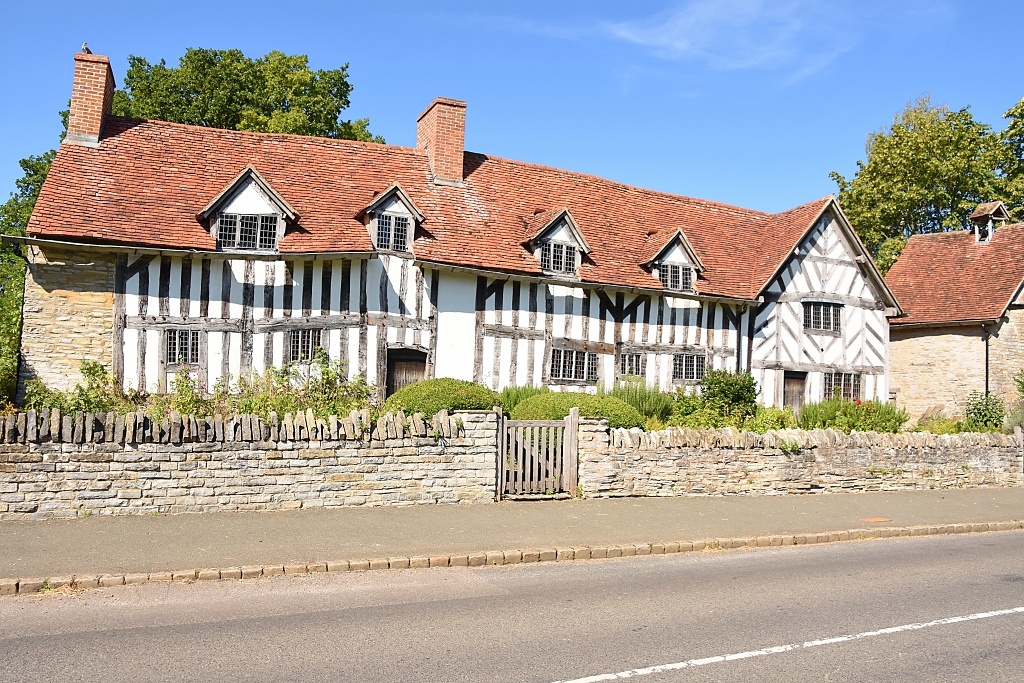 Mary Arden's Farm in Wilmcote © essentially-england.com
Just before the more modern, charmless bridge 59, we took a gravel path to the left and went up to the road. We turned right on to Featherbed Lane and walked into Wilmcote. Mary Arden's Farm stands out by a mile on the right-hand side of the road. It’s the wonky, timber-framed house with very small doors and windows. The house was built by Mary’s father, Robert Arden, in around 1514. The farm is open for special events and if you want to visit check their website here.
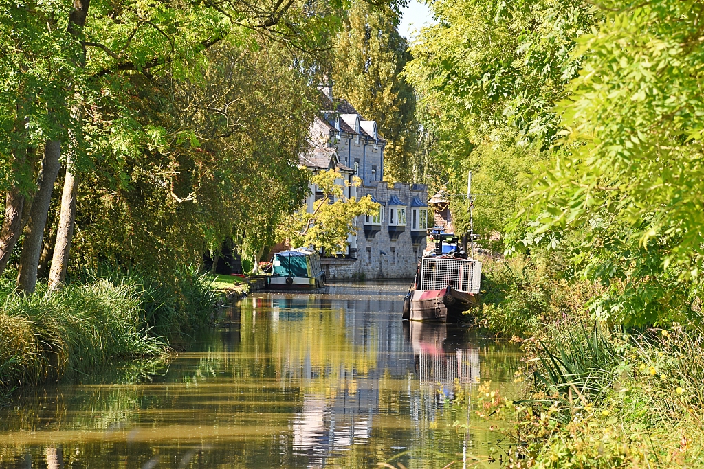 The View Whilst Walking Back Towards Bridge 59 on the Stratford-upon-Avon Canal © essentially-england.com
We continued past the farm to the T-junction, where The Mary Arden pub may be a good place for refreshments. Turning left, we walked along Church Road past the primary school and church to take another left turn down Manor Drive. Just before some metal gates leading to a private property, we turned left on to a gravel track that took us back to the Stratford-upon-Avon Canal. We crossed bridge 60 and turned left to join the tow path and walk back to bridge 59.
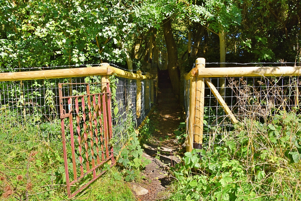 Easy to Miss Gate and Footpath From Canal
© essentially-england.com
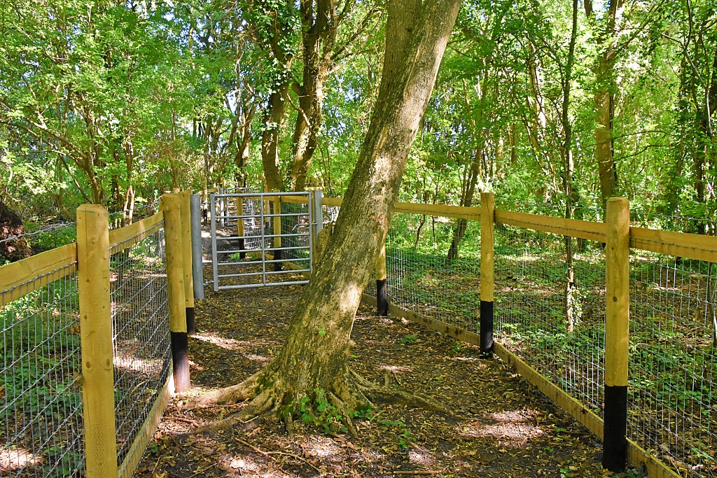 The Footpath to the Railway Crossing
 © essentially-england.com
Passing under bridge 59, we retraced our steps along the canal for about 0.2 miles looking for a small, easy-to-miss gate on the right-hand side. The footpath took us up and down steps, through several metal gates, and across a gravel track to a railway crossing.
Making sure there were no trains coming, we crossed the double railway track and joined a rather overgrown footpath.
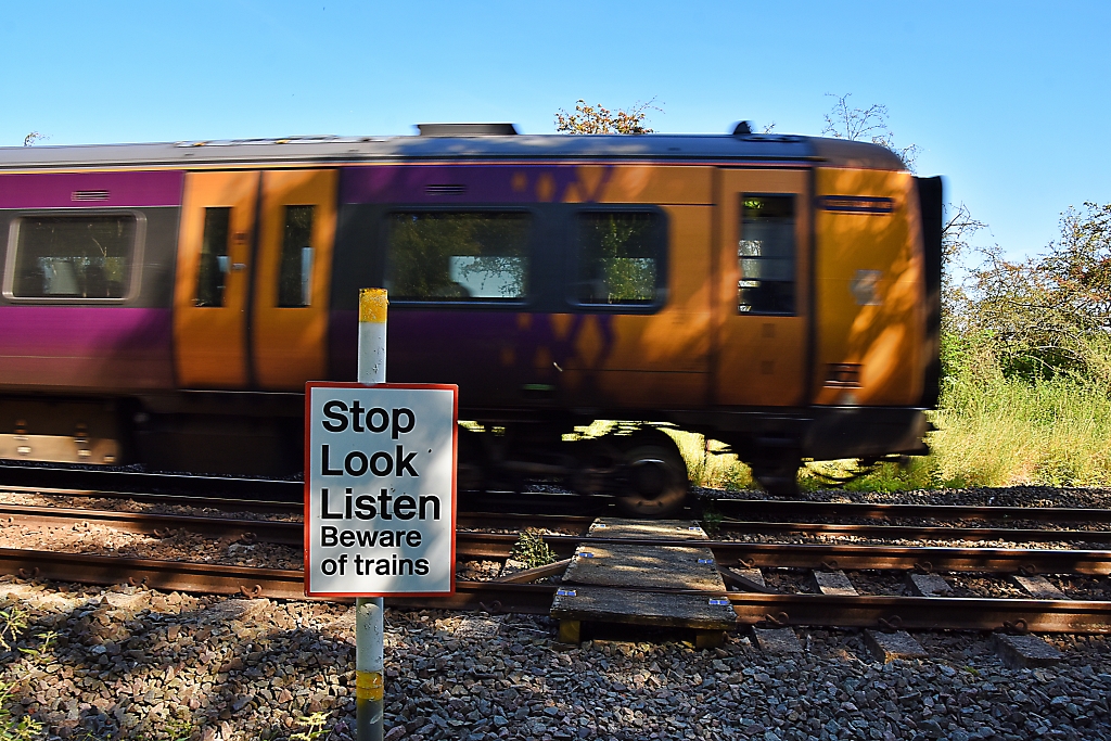 Pleased We Followed the Sign - Second Railway Crossing of the Day © essentially-england.com
We struggled along the footpath for a short distance and veered left over a field aiming just to the right of a line of tall trees. Passing through a gap in the fence, the footpath signs directed us across a gravel track and into the next field with a fence on our right.
We walked through the field to another fence with a broken gate and followed the footpath sign directing us straight ahead. At the end of the field, we joined a wide track and left the field. Crossing a ditch, we turned right onto a grassy field boundary with a wire fence on our right. After about 200 metres, the route turned left onto a grave/stony track that crossed the field and took us to a locked metal gate. We turned left and followed the hedge on our right until we saw a small opening and steps down to the road.
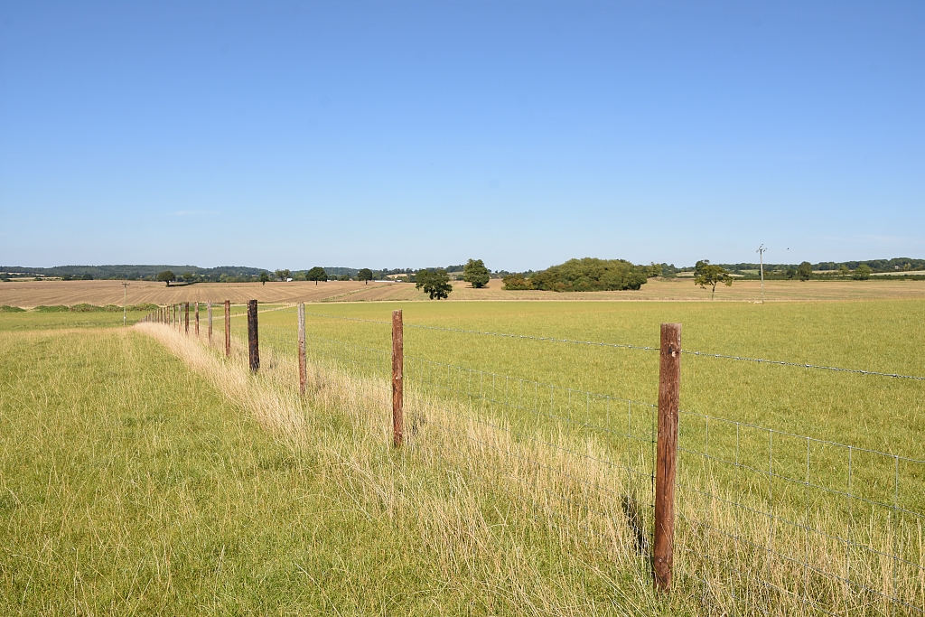 Following the Fence Through Beautiful Warickshire Farmland
 © essentially-england.com
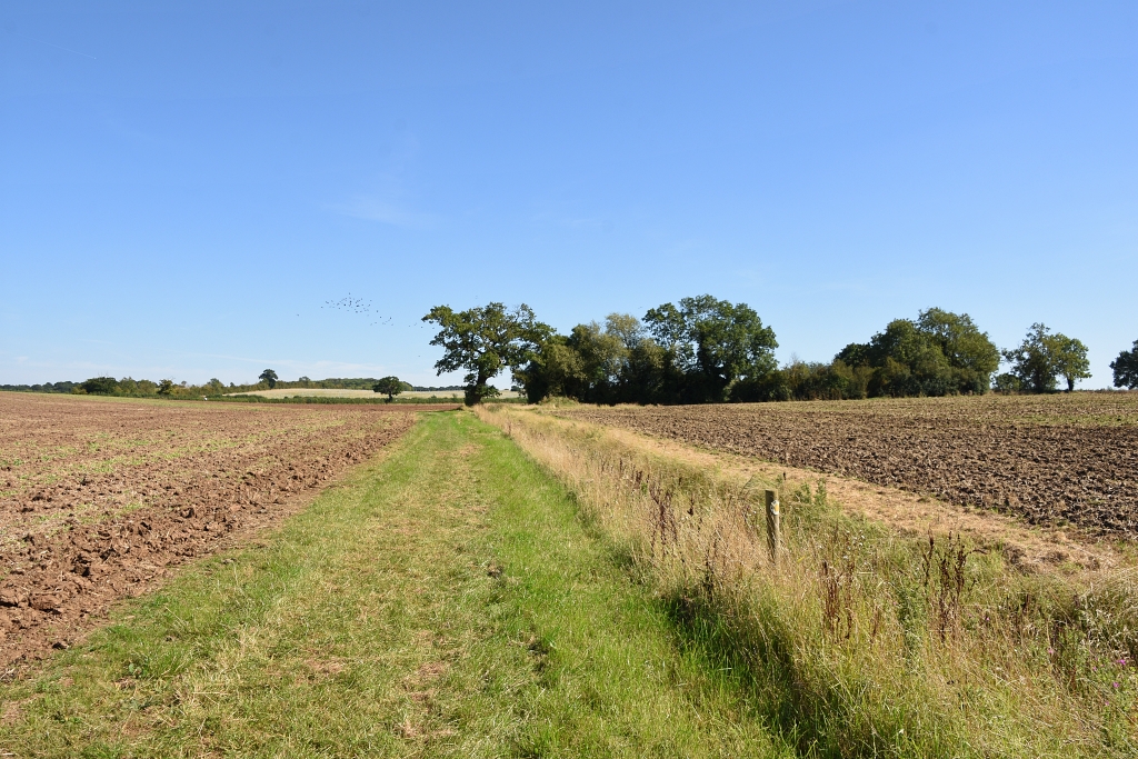 Grass Field Boundary and Ditch on Right
 © essentially-england.com
Crossing the road, we passed through a gap in the trees onto a narrow footpath. We continued along this path until it came to the outskirts of Bearley, where it became a tarmac road, Ash Lane, which we kept to until it joined Snitterfield Road.
We turned right and walked to St. Mary’s The Virgin Church. It's an old site that has held a church for over 800 years. The nave of the current church dates to the 12th century and the chancel to the 13 and 14th centuries. The church is a simple single cell building with a brick tower that was added when the church was refurbished in 1875.
 St. Mary's the Virgin Church in Bearley
 © essentially-england.com
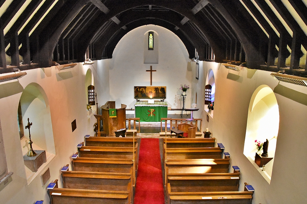 Inside St. Mary's the Virgin Church in Bearley
 © essentially-england.com
Leaving the church, we crossed the road and walked alongside the village green to join School Lane and down to its junction with Grange Road where we turned left to return to the playground car park.
What a great, but extremely hot walk full of beautiful scenery. It was nice to experience the aqueducts and understand the ingenuity of the canal builders, but boy, were we pleased to get back to the car and more bottles of water!
Fancy A Narrowboat Holiday Along A Canal?
Have our canal photos given you ideas about a narrowboat holiday or short break on the water?
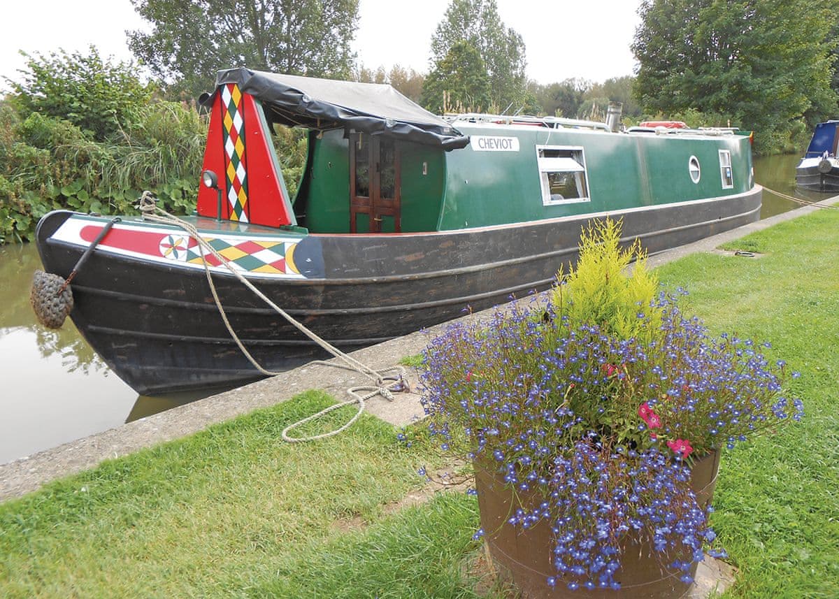
The canal system in England and Wales is over two thousand miles long. There are plenty of different routes and circuits you could choose from, from cityscapes to quiet villages, or remote countryside. You can decide between an adventurous trip with locks and tunnels or a nice and easy float along a canal with no hassles. Below are some ideas...
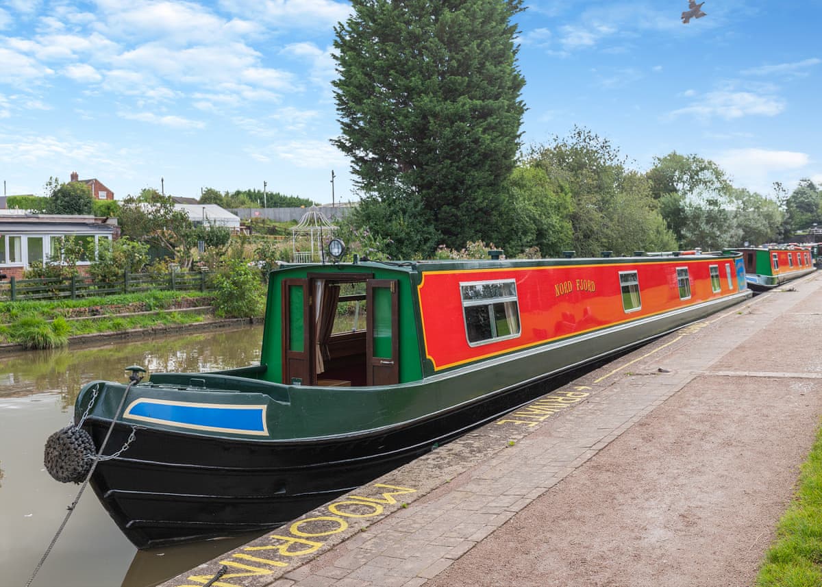
We understand that not everyone wants to go racing off down the canals, but may still want to experience the canal boat lifestyle. So here are some narrowboats that are permanently moored.
.jpg)
