Easy Peak District Walks
Burbage Edge
If someone
suggests a walk in the wonderful Peak District and the weather forecast predicts a bright sunny day - then you’ll be
mad not to agree. If the walk offers edges, rocks, and fine views,
then it’s a must-do. And when you add in the chance of autumn colours, it becomes a case of "what
time are we leaving?" And so, we set off one mid-November morning for one of the many easy Peak District Walks: a circular hike along Burbage Edge.
While the Peak District offers awe-inspiring scenery, it'd be wrong to say that every walk in the area is a strenuous one. There are plenty of easy Peak District walks available, some mostly level, some with a bit of a gradient. This variety is what makes the Peak District such a great destination for all.
Having lived on the western side of Sheffield for three years, we were familiar with the Peak District and walked regularly. Yet while Burbage Edge, the start and end point of this circular walk, starts just four miles from our old home, we’d never walked from here. We only ever stopped on the way through and wandered among the rocks taking in the fine views!
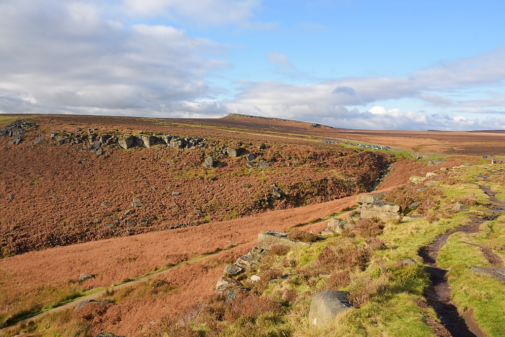 View from Burbage Edge Back to Carpark © essentially-england.com
Easy Peak District Walks - Burbage Edge Walk Map
I found this stunning walk on the peakdistrictwalks.net website where you can find full instructions along with other easy Peak District walks and more challenging routes, too. The walk has a bit of everything that is wonderful about the Peak District: tors, rocks, views, colour, and water. And although the walk mentions tors, we found that the climbs were relatively gentle, which was a nice reward!
After plotting the walk on my mapping software, I got a slightly shorter walk distance. I’m not sure if my route was a little different or if it’s just differences in the software systems used. My GPS device measured the walk as 5.3 miles.
Walking in the Peak District is a stimulating experience, but even on easy Peak District walks you should be prepared for the surroundings and weather conditions. Good walking shoes or boots are essential, as is suitable clothing. We’ve experienced sudden weather changes in the Peaks and have had to abandon one walk when a thick fog descended. Be warned!
When walking we rely on two GPS systems, one on my phone where I can track our progress using komoot.com and the other on my GPS device on which I’ve downloaded the gpx file. If you need this file, then you can download it by using the “Discover more info about this tour” link on the Komoot walking map.
Burbage Edge
Walk Instructions
We started
the walk from the Upper Burbage Bridge Carpark on the Ringinglow Road just
above Hathersage. Along the way, we noticed a couple of extra car
parking sites where the route crossed the A6187 road,
parking is also available at the Longshaw Estate National Trust site, that the walk passes through.
Remember, walking in the Peak District is very popular, and the car parks fill up quickly.
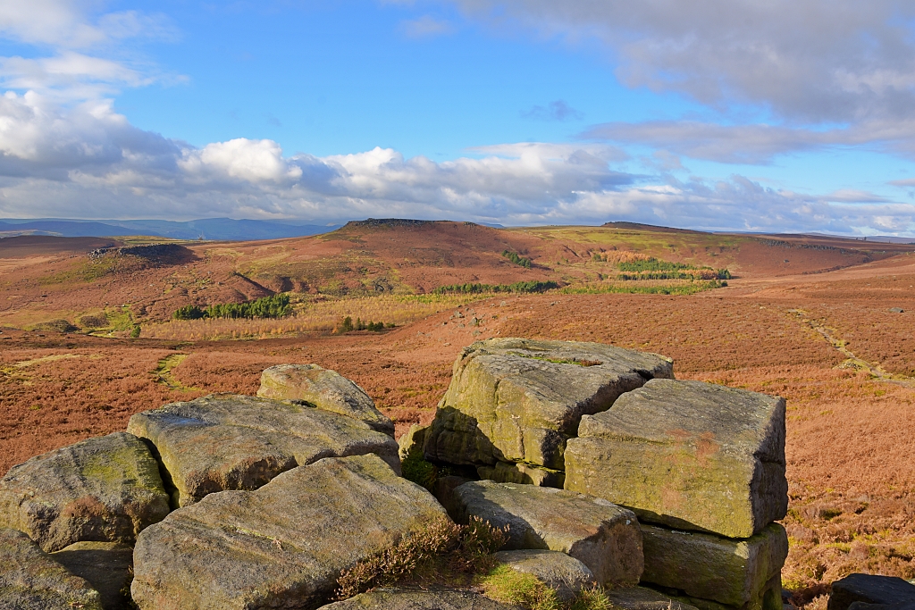 View to Higger Tor with Carl Wark Hillfort on the Left © essentially-england.com
Our route left the carpark via a metal kissing gate and went immediately left and down the slope towards the first of two stream crossings. It may not be possible to cross the streams after heavy rain and the alternative, safer, route is to walk along the road over the bridges towards another car parking area.
At the wooden bench and Upper Burbage stone-built information panel the path forks left to go along Burbage Edge or right to walk below the edge. Both routes will take you to the same crossing point of the A6187 road, but the lower path is smoother and easier to walk. The mapped route takes you to the left and along the edge to get the best views of the area.
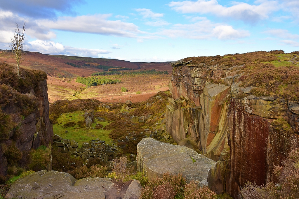 Burbage Valley from Burbage South Edge © essentially-england.com
Like most footpaths in the Peak District, the way ahead is well worn and easy to follow. It does get muddy here after wet weather, but there are plenty of rocks to jump between to avoid the worst areas.
After about 1.2 miles, at a large stone cairn beside a footpath crossing, continue straight ahead and slightly uphill on the path that follows the Burbage South Edge. The route continues to give wonderful views of the Burbage Valley, Higger Tor, which we'll climb later, and Carl Wark Hillfort, before gently descending to the A6187 road.
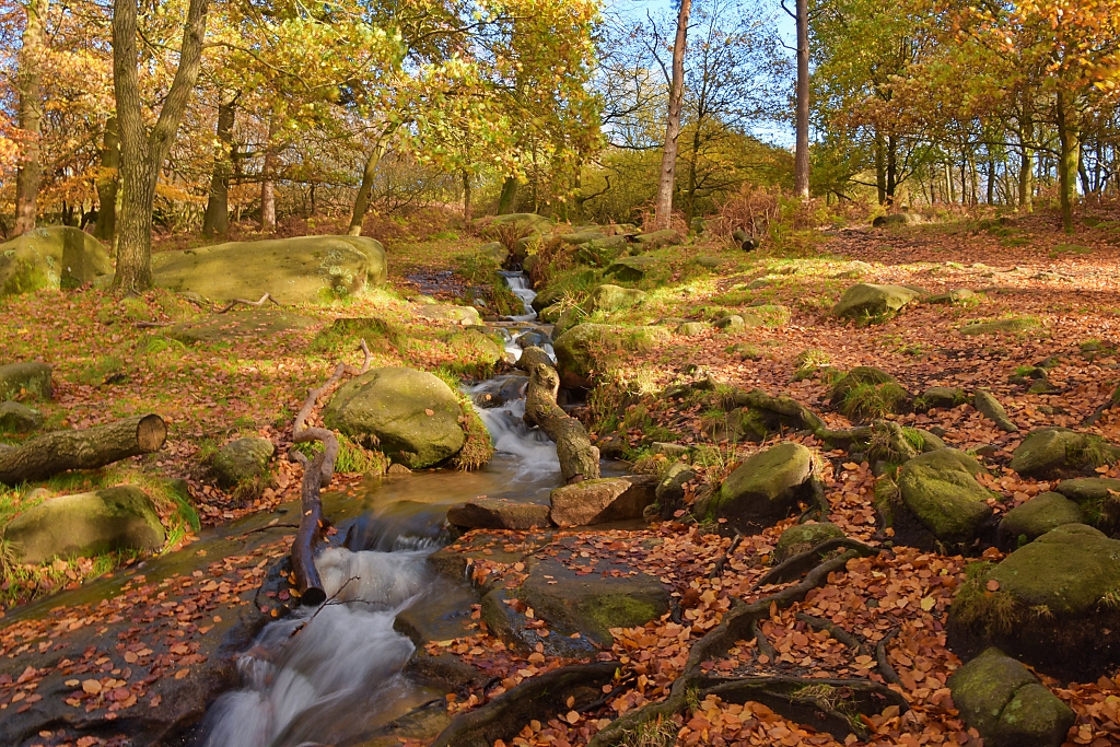 Woodland Stream on the Longshaw Estate © essentially-england.com
Cross the road and enter the National Trust-owned Longshaw estate via a wooden gate. Follow the footpath into the woodland. This is where the autum colours were at their best!
The path winds between the trees down towards a stream that joins Burbage Brook near a wooden footbridge. This area was very photogenic and quite a contrast to the landscape "up on the edge"!
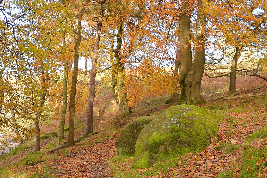 Autumn Trees on the Longshaw Estate © essentially-england.com
The route crosses the bridge and follows the brook to another wooden footbridge near where another stream joins Burbage Brook. This part of the route was very muddy, and some parts were made of laid stone to help navigate the worst areas.
At the footbridge turn right to climb gently towards Owler Tor. The path skirts to the right of the Tor to make its way to a wooden kissing gate and the A6187 road, but it’s well worth taking a slight detour to climb the rocks and get some fabulous views!
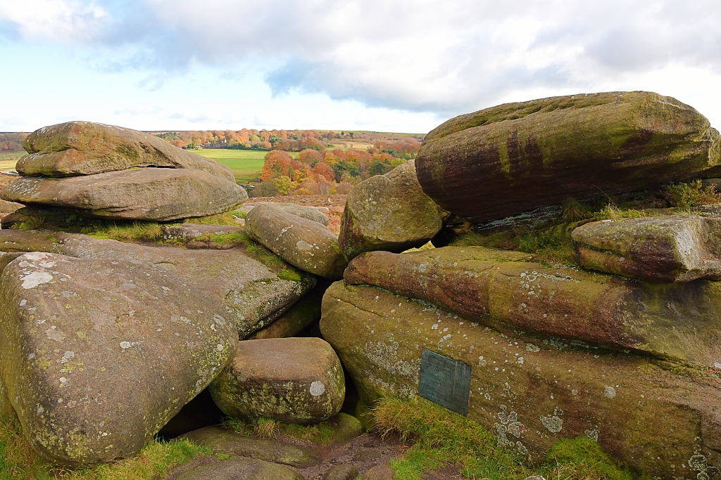 Owler Tor © essentially-england.com
Cross the road and take the footpath opposite, ascending gently through silver birch trees and ferns, past the distinctive Mother Cap stone to the top of Over Owler Tor. The climb is not that tough, but if you need a breather, just stop and take in the glorious views. No one’s going to blame you for stopping, in fact they’ll probably thank you as they may have missed such good panoramas!
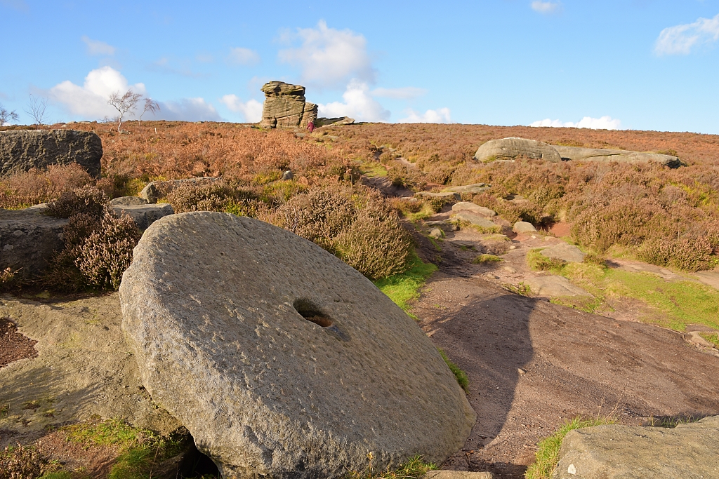 View to Mother Cap Stone © essentially-england.com
There are more superb views from Over Owler Tor, which is a lovely spot to take a short break.
The next stretch of the route is relatively flat as the footpath winds its way among heather and grasses. This section gives great views over to Stanage Edge on the left and Burbage Edge to the right. However, the forward view starts to be dominated by the gritstone wall of Higger Tor.
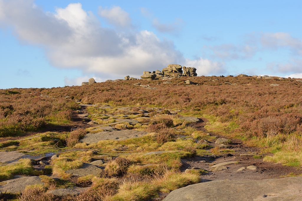 The Final Drag to Over Owler Tor © essentially-england.com
Much of the walking route can be seen from this vantage point, Burbage Edge, the Longshaw Estate, Over Owler Tor, and a great view towards Carl Wark Hillfort.
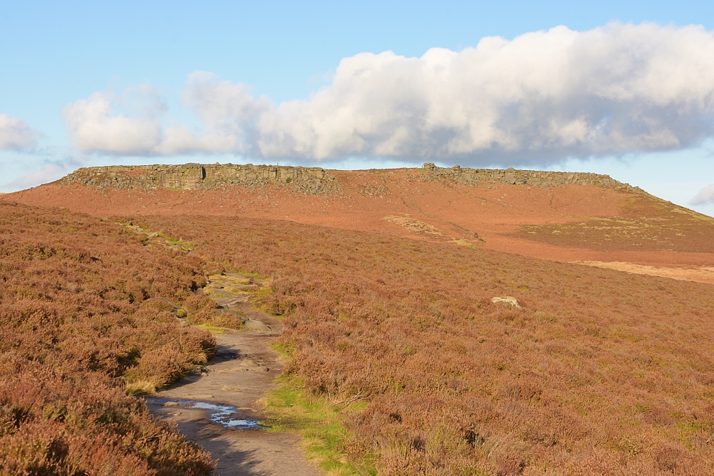 Our Path to Higger Tor © essentially-england.com
The last leg of our Burbage Edge walk is slightly downhill along another well-worn footpath. Initially the path is easy to walk, but it becomes rockier as it approaches the carpark.
And there you have it. A circular walk beginning and starting at Burbage Edge!
We really enjoyed this circular hike - which definitely fits the label of easy Peak District walks with its gentle ups and downs between long, flat sections. Late autumn is probably one of the best times of year to do it, though the late summer, when the heather is flowering, is another option. The one thing you need to get the most from this walk is a clear bright day to get all those brilliant views. Happy walking…
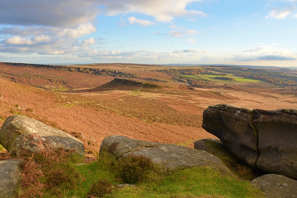 View of Carl Wark Hillfort, Burbage South Edge, and Longshaw Estate from Higger Tor
 © essentially-england.com
And if you’re looking for holiday cottage ideas why not try our Holiday Cottages in Derbyshire page or Matlock Holiday Cottages page for inspiration. Or you could try our Booking.com search box.
For more days out ideas return from our Burbage Edge walk page to the Things to do in England page.


