King Arthur Driving tour
following King Arthur through Shropshire
Time for an adventure! Follow the trail of King Arthur through the Shropshire countryside with our intriguing King Arthur Driving Tour!
King Arthur's shadow is a long one. His is a tale told for hundreds of years and by so many different authors that it's hard to say these days where history ends and fiction starts. Was there ever a real King Arthur? Did the Knights of the Round Table exist? And which of their feats of daring are embellished reality and which are all made up? Nobody is sure, though most of us learned in school that the places associated with King Arthur lie all in the southwest of England.
So, when we read about a Shropshire connection to Arthur's tale, we had to check that out. Why not follow along as we're exploring Shropshire? This detailed tour is around 135 miles long, but due to the number of stops I wouldn't recommend attempting it in a single day. I think it works better as a 3-day, 2-nights break minimum, and knowing the depth of history, the beauty of the local landscape, and the fabulous eateries along the way - we think you may want to spend a full week in Shropshire.
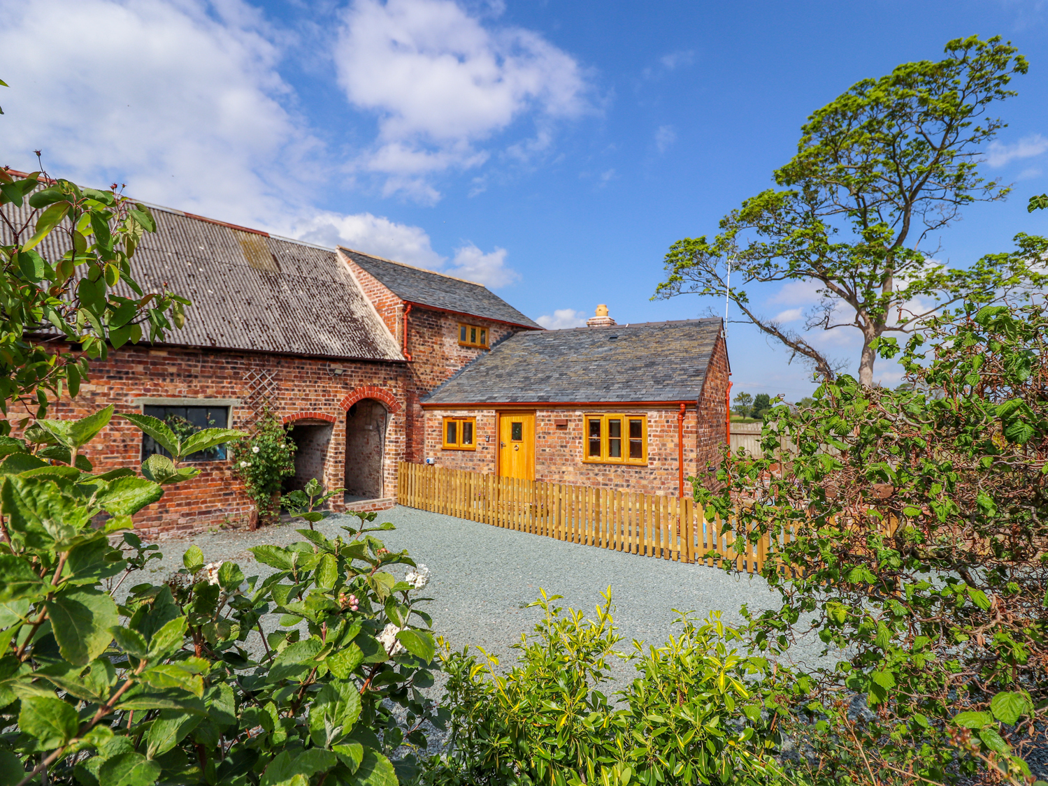
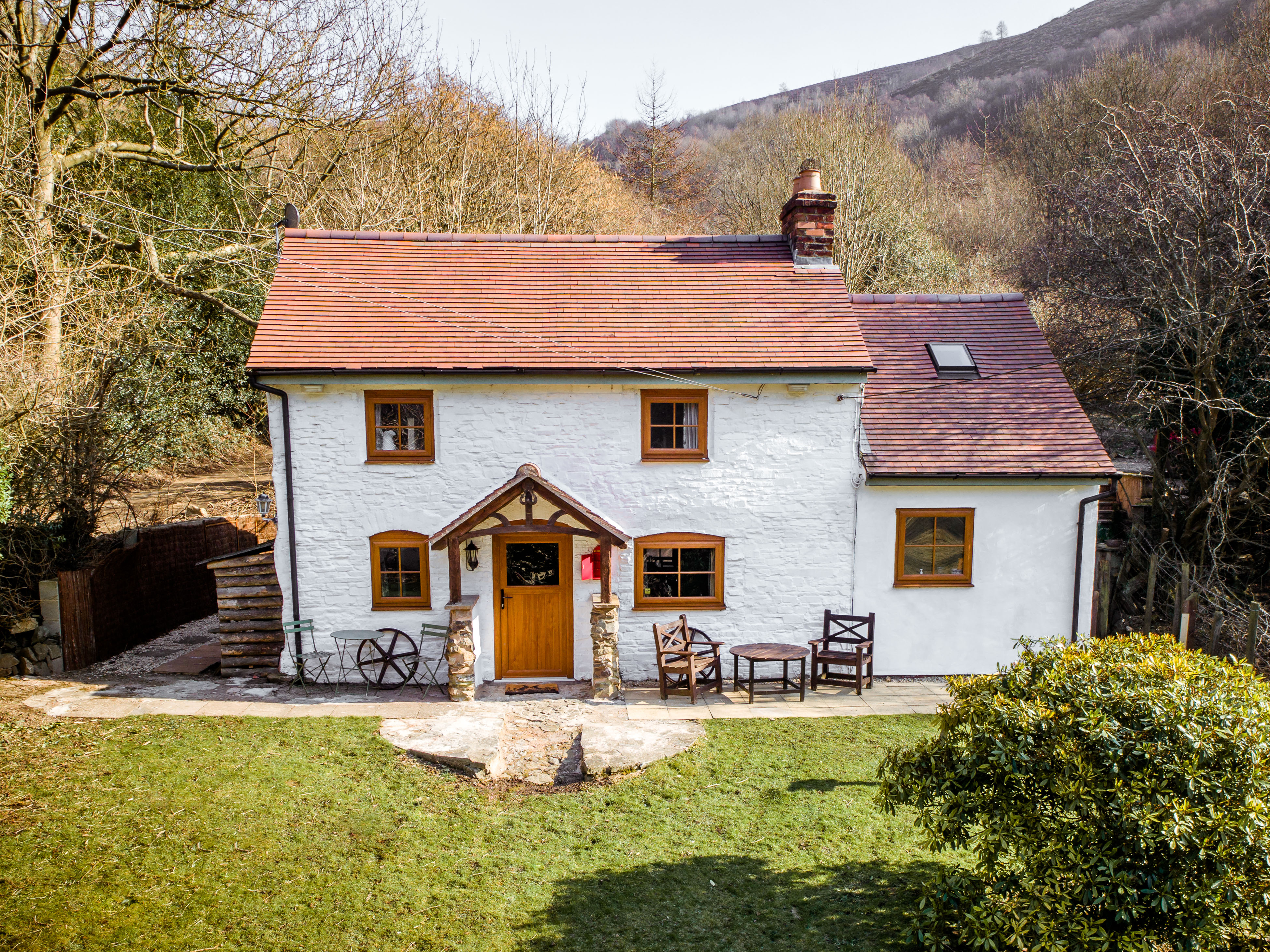
The idea for the tour came from a tourist map I found at our Shropshire holiday cottage in Stapleton, a few miles from Shrewsbury. It referenced a recently published book about King Arthur's connection to Shropshire, and the map offered the chance to visit sites of importance. I’m not really a big King Arthur fan, but this map piqued my interest, probably because it appeared controversial! Once home, and a quick internet search later, I found that the tourist map refers to Graham Phillips, a historical detective, and his book titled “The Lost Tomb of King Arthur”.
According to Graham Phillips, the King Arthur stories and legends we all know and love are really about a Celtic chieftain by the name of Owain Ddantgwyn who lived around the year 500 and ruled Powys. Let’s begin our tour at…
King Arthur's Camelot
The twelfth-century French poet Chrétien de Troyes invented the name for Arthur's court, and it has stuck ever since. According to the tales, Camelot was the glorious town or castle from which Arthur ruled.
Let’s step back in time. It's around the year 420 and the Romans have left Britain to its own devices. The prosperous colony becomes an ungoverned land. There’s confusion, lawlessness, and fighting. Leaders raise armies and squabble over territory, each establishing their own small kingdom. The fighting between kingdoms continues as each leader wants more land. The country is unstable and ripe for invasion.
Keen to take advantage of the infighting, the Saxons leave northern Germany and attack England's eastern coast. By around the year 500 - the time Arthur is said to rule the kingdom of Powys - the Saxons controlled three of Britain's four major Roman towns. The fourth largest Roman town in Britain - Viriconium - lay in Arthur's domain.
Archaeologists have detected a large Roman villa in Viriconium that they date to around the year 500. Could this be King Arthurs palace, a Roman-style villa, in the capital of his kingdom? Graham Phillips thinks so and you can watch a short documentary he has made here.
So, the first stop of our tour is - wait for it - Wroxeter Roman City. Here you can walk around the bathing complex, market hall, and surrounding streets. You may even be walking in the steps of King Arthur.
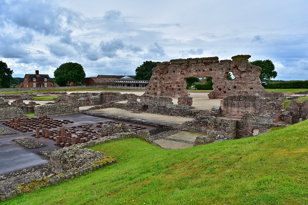 The Bath Complex in Wroxeter Roman City, or is it Camelot? © essentially-england.com
Further evidence that King Arthur was the chieftain Owain Ddantgwyn can be found in a text by the monk Gildas, who wrote in 545 “that the bear ruled from Virconium around the year 500”. At the tim,e warriors were often given an animal battle name, and if the old word Arth was translated it would mean 'bear'.
King Arthur Driving Tour Map
Chasing King Arthur - Map of our Tour Around Shropshire
King Arthur Driving Tour Map Key
- A/J Camelot - Wroxeter Roman Town
- B Much Wenlock
- C Ironbridge
- D Bridgnorth
- E Guinevere's Retreat - White Ladies Priory
- F Avalon - King Arthur's last resting place near Baschcurch
- G The Holy Grail at Whittington Castle
- H Oswestry
- I King Arthur's final battle site near Chribury
After visiting Camelot, we’re going to discover areas of Shropshire that are not related to King Arthur. We leave Wroxeter, by taking the B4380 south to Cressage, where we turn left onto the A458 to Much Wenlock. It’s a journey of about 8 miles.
Much Wenlock is a lovely little town full of gorgeous old buildings and offers a raft of shops and pubs for refreshment. History lovers can explore the Wenlock Priory ruins, and find out about the town's most famous resident: Dr William Penny Brooks. Deeply interested in both public health and competitive sports, Dr Penny Brooks organised the first Wenlock Olympian Games in 1850 and they are still held most years. His competition was the inspiration for the Olympics Games we know today.
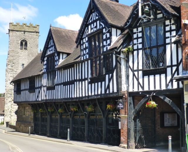 Much Wenlock © essentially-england.com
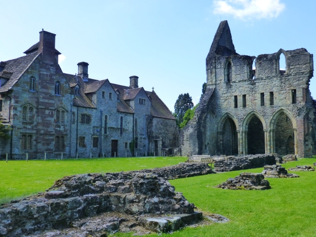 Wenlock Priory Ruins © essentially-england.com
The next port of call on our King Arthur driving tour is Ironbridge, a UNESCO World Heritage Site also known as the birthplace of the Industrial Revolution. We are going to leave Much Wenlock on the A4169 towards Buildwas, where you could stop and look at the Buildwas Abbey ruins. Just after crossing the River Severn, we turn right on to Buildwas Road towards Ironbridge.
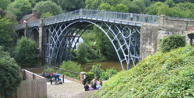 The Iron Bridge Spanning The River Seven © essentially-england.com
Your level of interest in living history and the period of the Industrial Revolution will determine how long you stay in this area. There's just so much to do that visiting all the museums would take at least 1-2 days. If being on the move is more to your liking, you can just stop and take in the views from The Iron Bridge.
We leave Ironbridge on the B4373 for the near nine-mile drive to Bridgnorth, passing through Broseley, another small town with a big connection to the Industrial Revolution. Back in the day, it was famous for making pipes! If you have time, definitely stop for a short wander around the Broseley Jitties or explore the pipe museum.
Bridgnorth is one of Shropshires larger towns with plenty of shops, pubs, and accommodation if required. King Charles I is quoted as saying “The finest view in all my Kingdom” when taking the views in Bridgnorth. There is plenty to see and do, including riverside walks and gardens, a Victorian funicular railway, a medieval town centre, and the Severn Valley railway which runs steam trains to Kidderminster and back. We had a lovely time and some adventures exploring Bridgnorth.
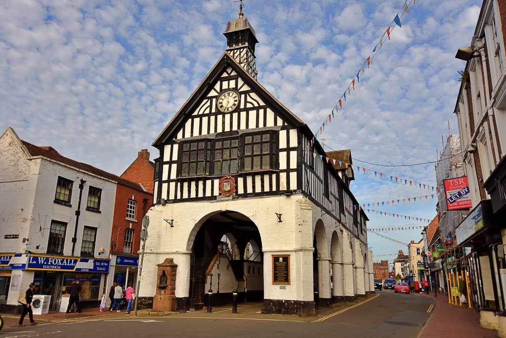 Bridgnorth Town Hall © essentially-england.com
Back on the road, we leave Bridgnorth to head to another site connected to our Arthurian legends: the ruins of White Ladies Priory. The drive is about 14 miles.
Guinevere's Retreat
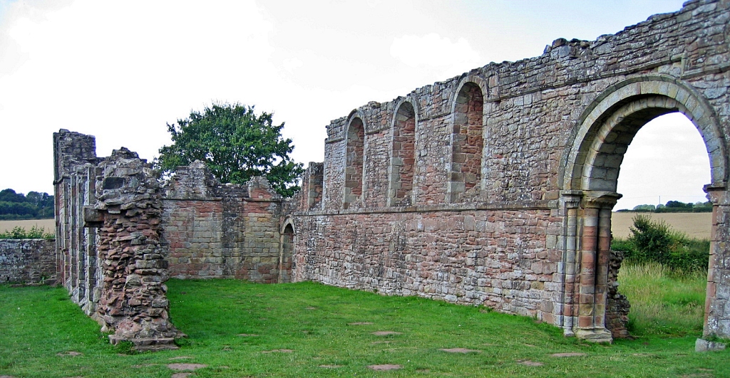 White Ladies Priory © essentially-england.com
The ruins of White Ladies Priory we see today date to the late twelfth century, about six hundred years after King Arthur. It is believed that a religious site existed here in Arthur's time, which offered refuge to Queen Guinevere. In Welsh, Guinevere means 'fair one' or 'white ghost', which may be how the later priory received its name.
While staying at the priory, Guinevere guarded Arthur’s sword, Excalibur, given into her charge by the king because he was tired of fighting. For more information watch another short documentary made by Graham Phillips here.
Another famous visitor to
White Ladies Priory was King Charles II who hid here for a night in 1651 after losing the
Battle of Worcester and being chased by Parliamentarian soldiers.
If you walk half a mile up the road you can visit Boscobel House which - another hiding place of King Charles II, and a very famous one! When the house was about to be searched by Cromwell's soldiers, he hid in an oak tree in the woods.
After his restoration to the throne, many a pub was named The Royal Oak in commemoration of his daring escape.
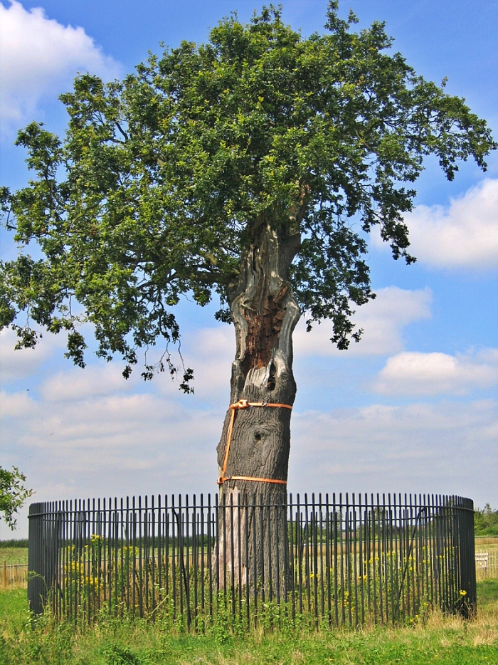 The Oak Tree at Boscobel House © essentially-england.com
We continue our King Arthur driving tour with the next stop being about 31 miles northwest of Boscobel. The route takes us past Shrewsbury, the county town of Shropshire. There is plenty to see and do in and around Shrewsbury including the Attingham estate, Shrewsbury Abbey, cathedral, castle, and medieval centre.
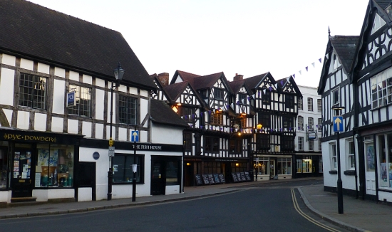
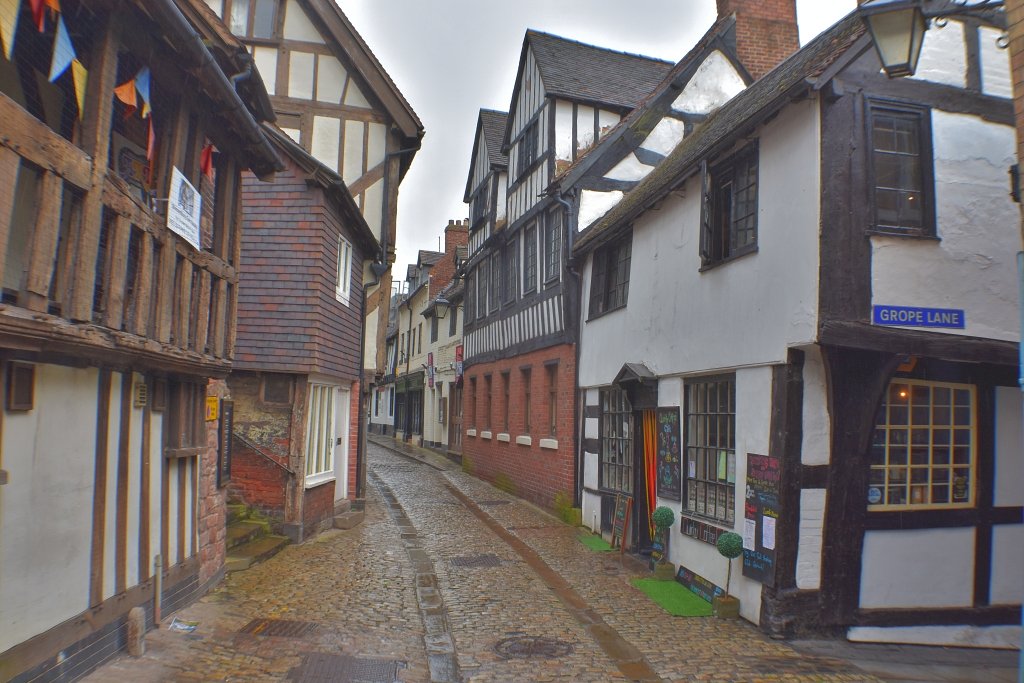 Medieval Streets in Shrewsbury © essentially-england.com
Avalon – The Resting Place of King Arthur
During the research for his book about King Arthur, author Graham Phillips found a Dark Ages text in an Oxford University library that translates to “the kings from Wroxeter who were buried at the Churches of Bassa” and believes this could be Baschurch. What’s more, just outside of Baschurch is an earthwork on a hill called The Berth which 1500 years ago would have been surrounded by water.
If you leave Baschurch on the B4397 towards Marton, after about one mile you'll come to a lake (Birchgrove Pool) on the right-hand side. On the left is another lake, Berth Pool. These pools would have been part of the lake that surrounded The Berth, which might have been the Isle of Avalon. Continue along the road until a track goes off to the left, and you're standing on an ancient path that led to the causeway to the Isle of Avalon. Graham Phillips believes King Arthurs final resting place was in a chapel, or tomb, where the track meets the road!
And just imagine, Arthur’s Excalibur may also be right here sitting in the mud of one of these lakes! Unfortunately, all the land is private land and there is no access. But you can watch this short documentary by Graham Phillips as he explains his theory.
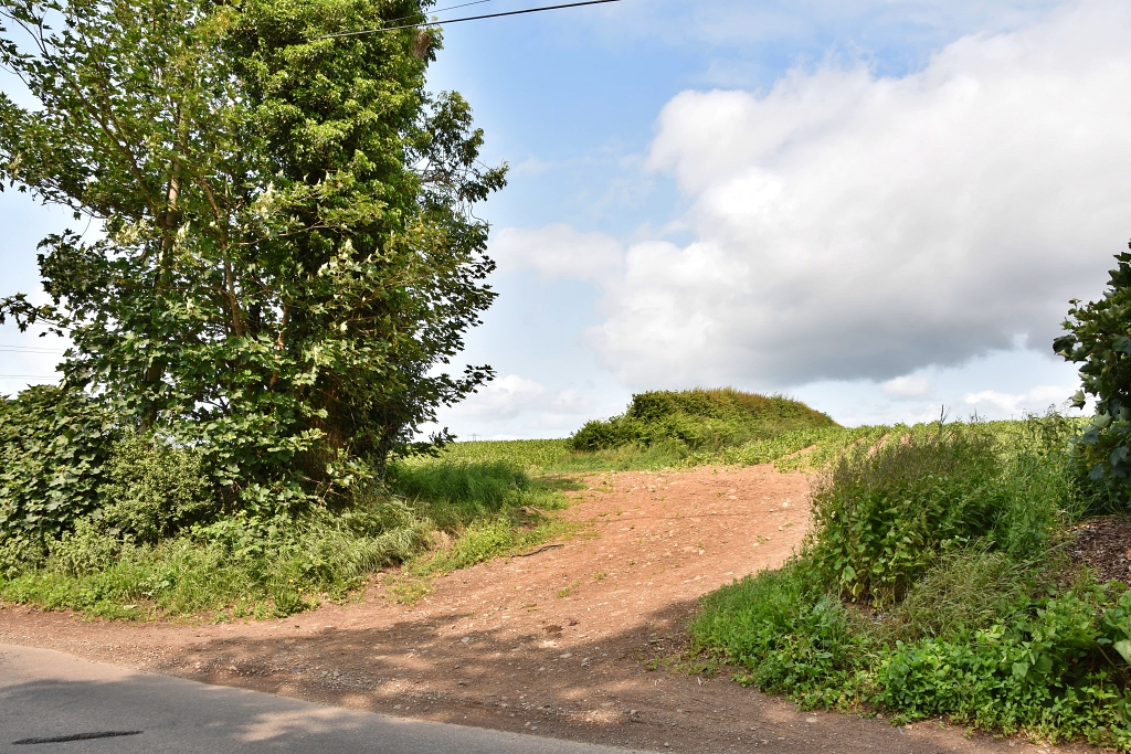 Is This Unasumming Field Entrance King Arthur's Burial Site? © essentially-england.com
Whittington Castle - a link to the Holy Grail?
We’re leaving Avalon and heading off to the next destination on our King Arthur driving tour: the town of Oswestry, with a stop at Whittington along the way. It’s about 14 miles. In Whittington follow the signs to the picturesque Whittington Castle. Watch Graham Phillips explain a possibly connection to The Holy Grail.
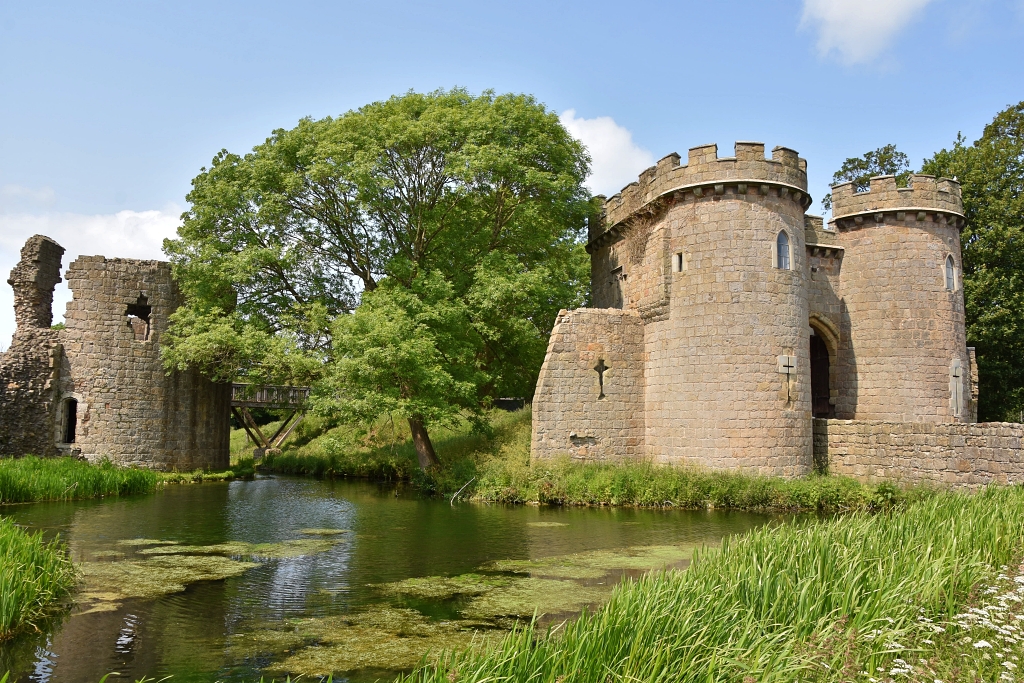 Whittington Castle © essentially-england.com
After visiting Whittington Castle continue to Oswestry, a beautiful old town with a castle and hilltop fort earthworks. It’s three miles along the A495. It will be a good place to stop for refreshments or stay overnight.
We’re cheekily leaving Shropshire, and England, as the road between Oswestry and Welshpool crosses the border into Wales. From Oswestry follow the A483 for fifteen miles to Welshpool, another pretty town with attractions, shops, pubs, and accommodation.
Shortly after leaving Welshpool on the A483 in the direction of Newtown, take the left turn onto the A490 towards Chirbury. Just after passing back into England, and about half a mile before reaching Chirbury, the road crosses a small river. There is a small lay-by on the right-hand side of the road close to the bridge. Stop here.
King Arthur’s Final Battle
This is Camlann, where King Arthur was fatally wounded whilst fighting his nephew, Modred. In real life, Owain Ddantgwyn fought his nephew Maglocunus, the leader of the adjacent kingdom of Gwynedd. Ancient texts name the battle site Rhyd-y-Groes, which is the name of the farmland around, in fact we’ve just passed signs for the Rhyd-y-Groes Camp Site. Coincidently, the river meandering under the bridge is the River Camlad. Naturally, Graham Phillips has published another short documentary explaining his theory.
 The River Camlad Outside Chirbury - Was This King Arthur's Last Battle Site? © essentially-england.com
It’s the final push in our King Arthur driving tour of Shropshire, just 25 miles back to the start point in Camelot. We leave the River Camlad and head towards Chirbury and across to Shrewsbury and another opportunity to visit the lovely town. Turn right onto the A5 and continue until the B4380 where the tour turns right back to Wroxeter to complete the circuit.
Are You Planning a Trip to Shropshire?
Shropshire is a marvellous place for history and food lovers! There's so much to see and do and taste, that you'll need more than just a short visit. If food is your thing, head to Ludlow and start exploring from there. For history lovers, Shrewsbury makes a great base with many historical sites in very easy reach.
Where You Could Stay
To see more self-catering cottages in Shropshire click here or check out holiday cottages in other parts of England by clicking here.
If you need to find a hotel, then try one of these search platforms...
What You Could See and Do
Here are a few places that should go on your must-see list:
- Wroxeter Roman City
- Shrewsbury Abbey
- Shrewsbury
- Attingham Hall and Parkland
- Cantlop Bridge
- Snailbeach Mine
- Much Wenlock
- Offa's Dyke
- Ironbridge Gorge, The Iron Bridge & Broseley Jitties
- Ludlow Castle
- Stokesay Castle
- Bridgnorth
Click here for a great list of things to do in Shropshire.
If you have enjoyed our King Arthur driving tour around Shropshire and are looking for other ideas for days out, then please click here to explore our Shropshire page.


